Paderne, Algarve, Portugal
Suggest Place to Visit
12752
Track to location with GPS |
 |
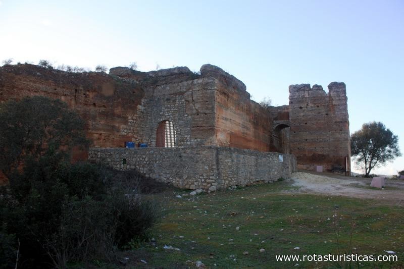
The castle was erected in mud by Almoádas between the 11th and 12th centuries, during the last phase of the Muslim occupation of the peninsula, controlling the old Roman road that crossed the Quarteira river by a bridge to the Southeast. In this period, the progress of the Christian Reconquest led to the construction of a defensive line composed of medium-size and rural fortifications in the region, of which this is one of the best examples.
The medieval castle
The earliest reference to the castle dates back to 1189, when it was conquered in a fierce night-time assault by D. Sancho I's forces (1185-1211), with the help of a squadron of English crusaders. This dominion, however, was ephemeral, since as early as 1191 it was recovered by the Almohad forces under the command of the caliph Abu Yusuf Ya'qub al-Mansur.
Its definitive possession for the Portuguese Crown would only come under the reign of D. Afonso III (1248-1279) with the conquest by the Master of the Order of Santiago, D. Paio Peres Correia, in 1248, beginning the repopulation of the region.
Under the reign of D. Dinis (1279-1325), the domains of the village and its castle, as well as the patronage of its church, were donated by the sovereign to the Order of Avis, in the person of his Master, D. Lourenço Anes. However, during the period there are no restoration works in the castle, similar to what happened with the Castle of Alvor (1300), the walls of Tavira (1303) or Castro Marim (1303), but only a few buildings in its interior, as the building of the original chapel, now in ruins.
From the fifteenth century to our days
In the following century, when the cycle of the Portuguese Discoveries began, strategic and economic preoccupations were concentrated on the coasts of the kingdom, losing Paderne its importance and its defensive function. Abandoned from the sixteenth century, when the settlement moved to the present site, it fell progressively into ruins in the following centuries. The process was aggravated by the damage caused by the earthquake of 1755 to the structure, in particular to its keep, as recorded by the Parochial Memories in 1758.
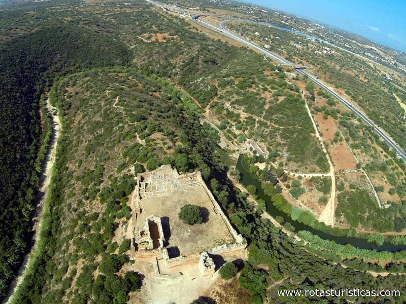
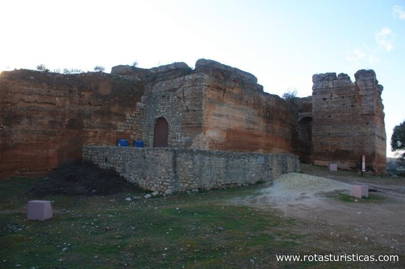
The ruins of the castle, constituted by some sections of walls, the albarran tower and the walls of the chapel in its interior, in which a cistern was opened, was encrusted as Property of Public Interest by Decree published on November 22, 1971.
The castle features an irregular, organic quadrangular plant occupying an area of about 1,000 m². In addition to the typical features of the Almoadian military architecture, such as the mud walls, the square-shaped albarrã tower, which rises about ten meters to the east, and the elbow door at the opposite angle to the tower, its remnants influences of the Gothic and Manueline style, like the barbican who defended this door.
One of the seven castles represented on the flag of Portugal, its reddish ruins are one of the most significant examples of Muslim military architecture in the Iberian Peninsula, standing out in the landscape.
Comments
We don´t have yet any comments about:
Castle Almoad (Paderne)
Castle Almoad (Paderne)
Be the first to leave a comment as it is very important to inform other people
Outros locais a visitar
Within a radius of 20 km from:Castle Almoad (Paderne)
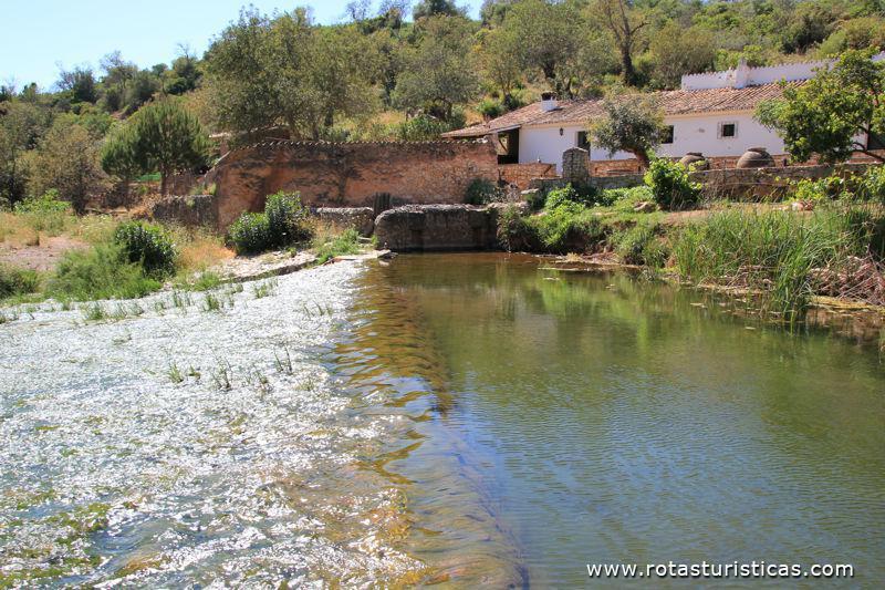
Açude de la ribera del castillo, Paderne |
| 0,2 Km |
 |
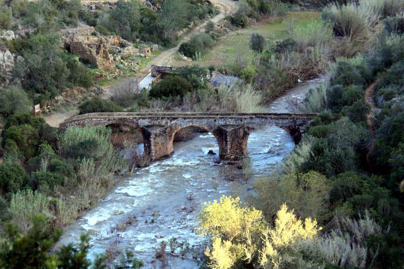
Puente antiguo de Paderne |
| 0,2 Km |
 |
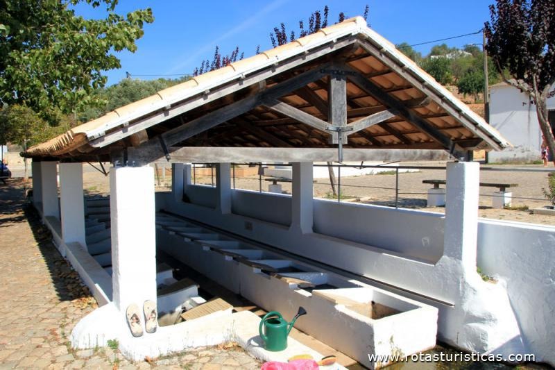
Fuente de Paderne |
| 1,4 Km |
 |
Molino de viento do Leitão (Paderne) |
| 1,5 Km |
 |
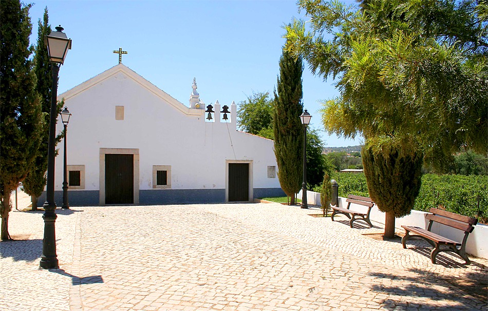
Capilla de la N.ª S.ª do Pé da Cruz (Paderne) |
| 2,1 Km |
 |
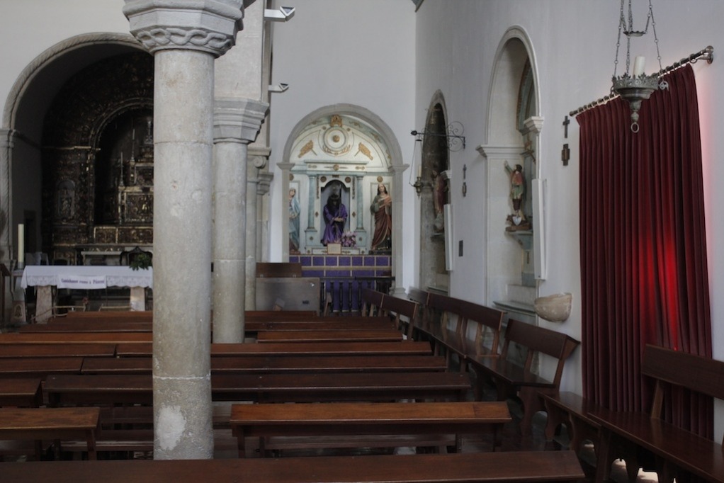
Iglesia Matriz de Paderne |
| 2,1 Km |
 |
Museo del Acordeón (Paderne) |
| 2,2 Km |
 |
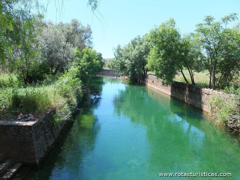
Pego de la estacada, Paderne |
| 2,5 Km |
 |
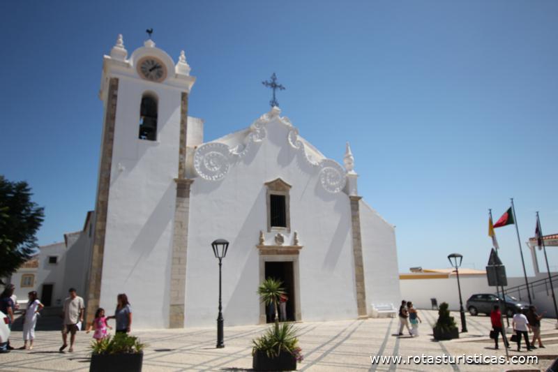
Iglesia Madre del s. Sebastião - Boliqueime |
| 4,5 Km |
 |
Iglesia de San Faustino (Boliqueime) |
| 4,5 Km |
 |
Molino de las Canas, Paderne |
| 5,0 Km |
 |
Olhos De Agua - Informação Geral |
| 7,5 Km |
 |
Playa de Ojos de Agua (Algarve) |
| 7,5 Km |
 |
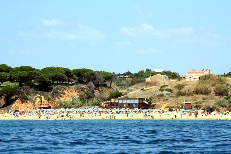
Maria Luisa |
| 7,6 Km |
 |
Playa Barranco de las Belarucas (Albufeira) |
| 7,7 Km |
 |
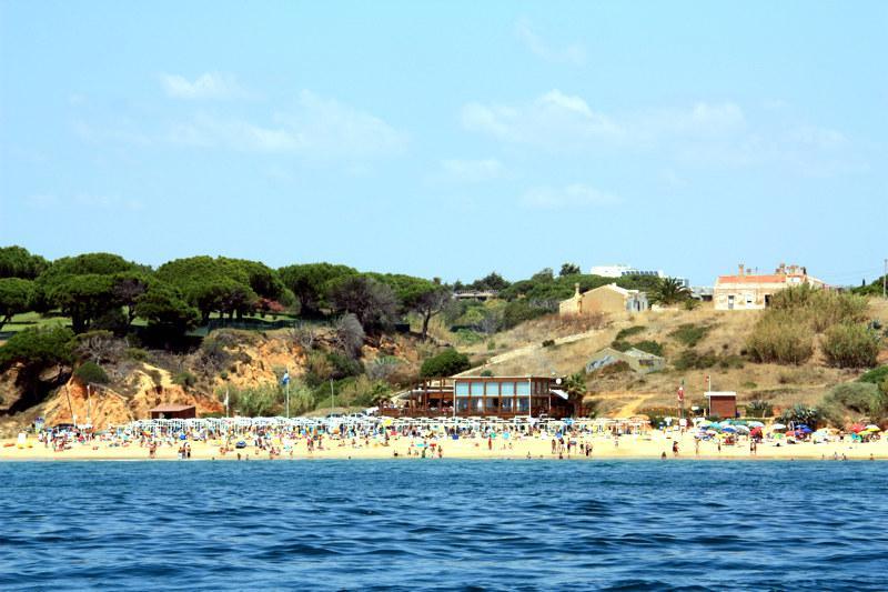
Playa Maria Luisa |
| 7,7 Km |
 |
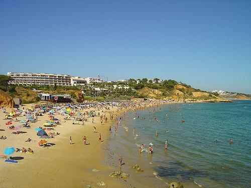
Playa de Santa Eulalia (Albufeira) |
| 7,8 Km |
 |
Molino de Picota (Boliqueime) |
| 7,9 Km |
 |
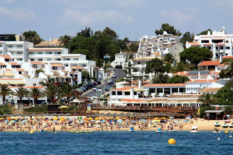
Playa Oura |
| 8,2 Km |
 |
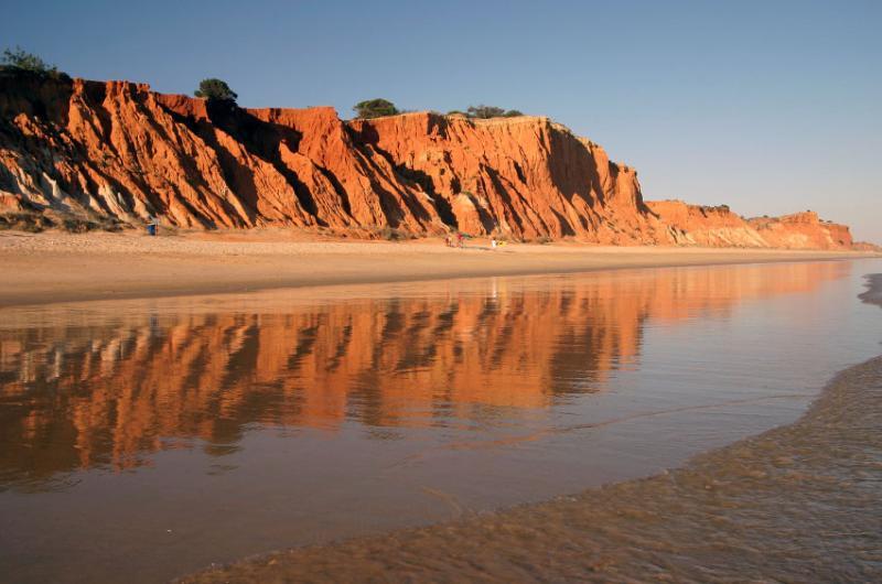
Playa de la Falésia (Albufeira) |
| 8,4 Km |
 |
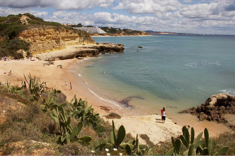
Playa de los Aveiros (Albufeira) |
| 8,7 Km |
 |
Playa de Alemães (Albufeira) |
| 8,8 Km |
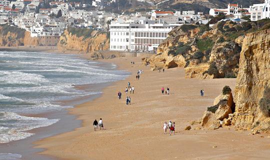 |
Playa del Fuerte de São João da Oura |
| 8,8 Km |
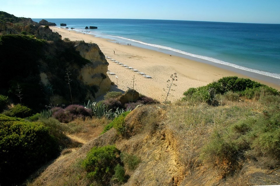 |
Playa del Inatel (Albufeira) |
| 8,8 Km |
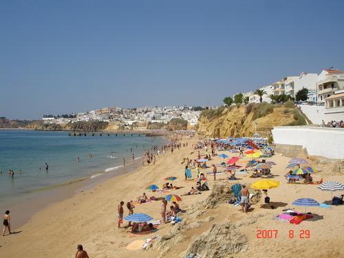 |
Población de Alte (Algarve) |
| 9,0 Km |
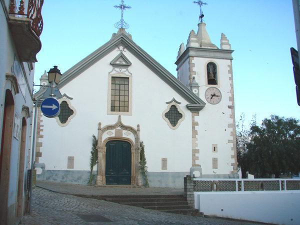 |
Iglesia Matriz de Alte (Algarve) |
| 9,0 Km |
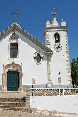 |
Ciudad de Albufeira (Algarve) |
| 9,0 Km |
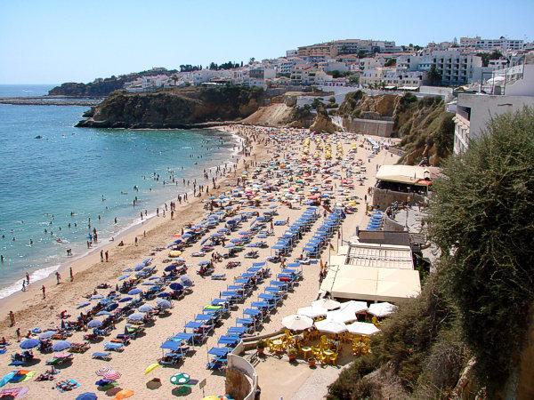 |
Playa del pescador Albufeira |
| 9,1 Km |
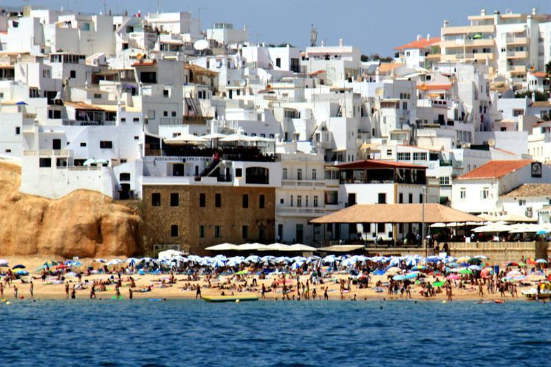 |
Playa de Albufeira (Algarve) |
| 9,2 Km |
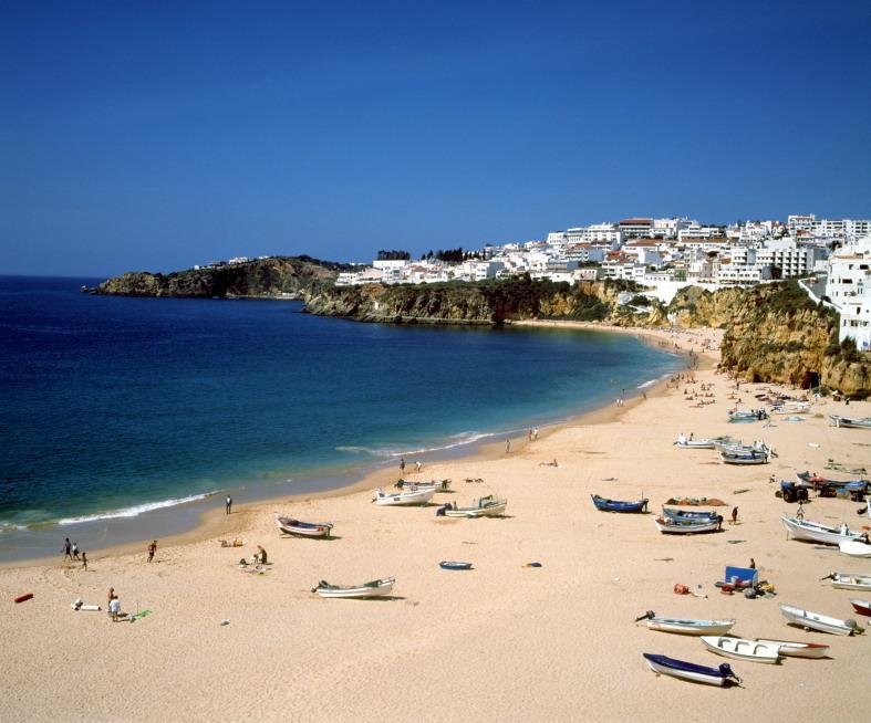 |
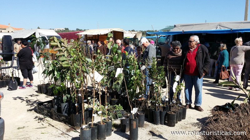
Mercado Mensual de Algoz (Algarve) |
| 9,3 Km |
 |
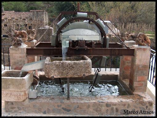
Fuente Pequeña de Alte (Alte) |
| 9,3 Km |
 |
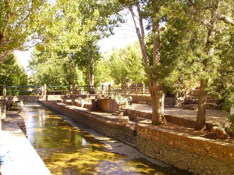
Fuente Grande de Alte (Algarve) |
| 9,5 Km |
 |
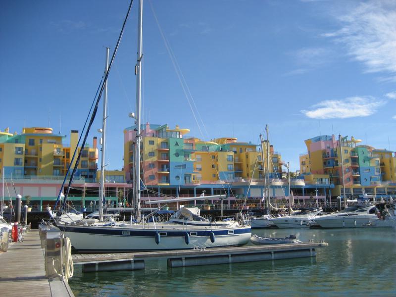
Marina de Albufeira (Algarve) |
| 10,1 Km |
 |
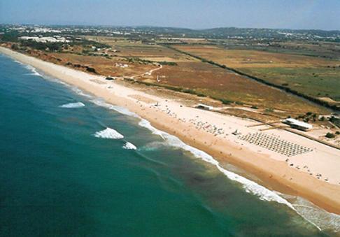
Playa de Rocha Baixinha (Albufeira) |
| 10,1 Km |
 |
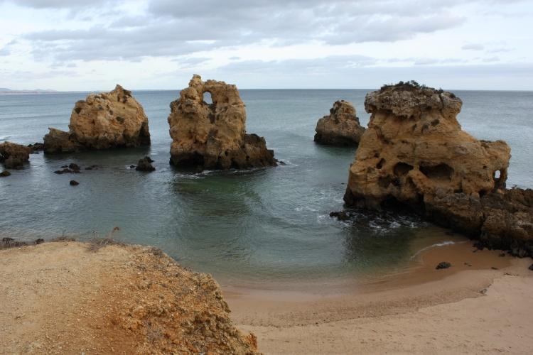
Playa de los Arrifes (Albufeira) |
| 10,5 Km |
 |
Zoomarine Algarve (Guia) |
| 10,7 Km |
 |
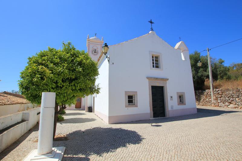
Iglesia de Nuestra Señora de la Gloria (Benafín) |
| 10,7 Km |
 |
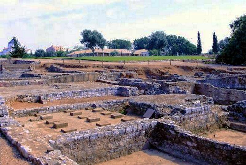
Ruinas Romanas del Cerro da Vila (Vilamoura) |
| 11,1 Km |
 |
Estación Arqueológica del Cerro da Vila (Vilamoura) |
| 11,1 Km |
 |
Vilamoura (Algarve) |
| 11,3 Km |
 |
Marina de Vilamoura à noite |
| 11,5 Km |
 |
Playa de San Rafael (Albufeira) |
| 11,6 Km |
 |
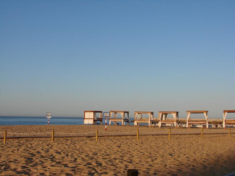
Playa de la Marina de Vilamoura (Algarve) |
| 11,8 Km |
 |
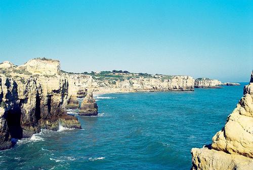
Playa de Coelha (Albufeira) |
| 12,4 Km |
 |
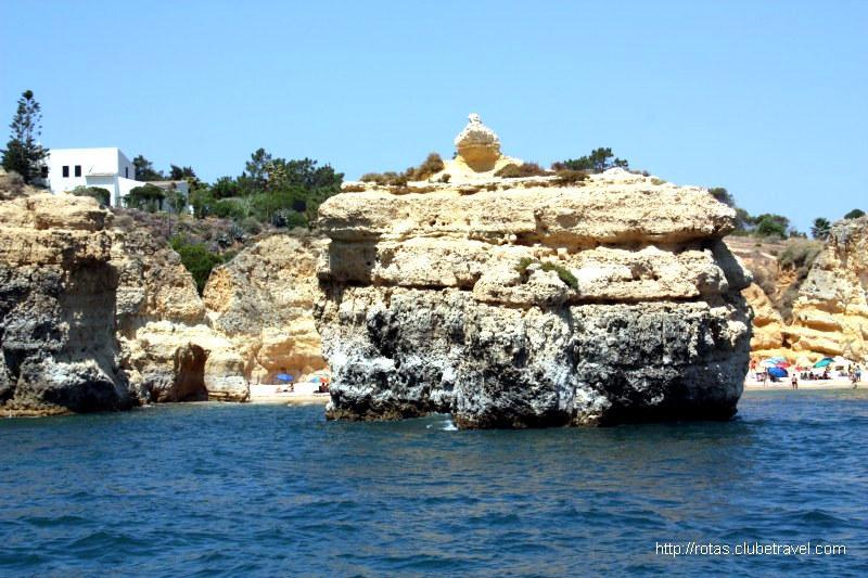
Playa del Castelo (Albufeira) |
| 12,8 Km |
 |
Mercado de pescado (Quarteira) |
| 12,8 Km |
 |
Playa Evaristo |
| 13,0 Km |
 |
Quarteira - Informação Geral |
| 13,1 Km |
 |
Praia do Lourenço |
| 13,2 Km |
 |
Playa Manuel Lourenço (Albufeira) |
| 13,2 Km |
 |
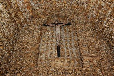
Capilla de los Huesos de Alcantarilha (Algarve) |
| 13,3 Km |
 |
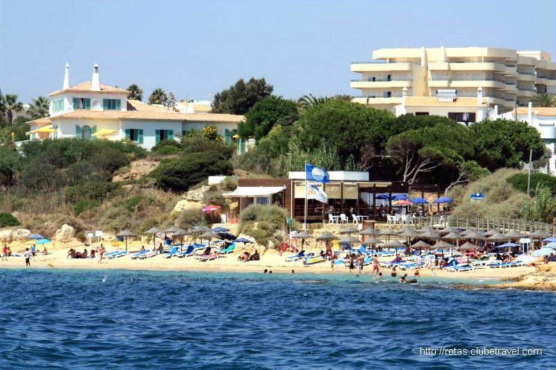
Playa de Galé (Albufeira) |
| 13,4 Km |
 |
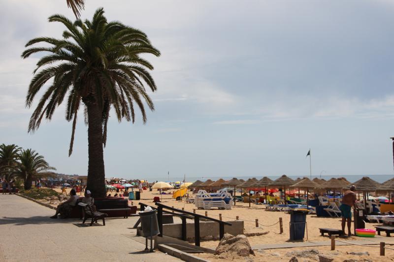
Playa de Quarteira (Algarve) |
| 13,5 Km |
 |
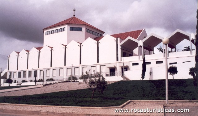
Iglesia de San Pedro del Mar (Quarteira) |
| 13,7 Km |
 |
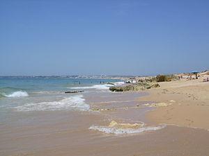
Playa de los Salgados (Albufeira) |
| 13,7 Km |
 |
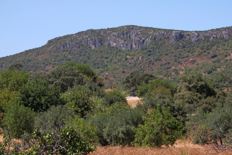
Rocha da Pena (Algarve) |
| 14,5 Km |
 |
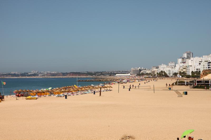
Playa del Forte Novo (Quarteira) |
| 14,5 Km |
 |
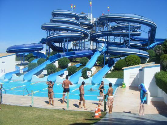
Aqualand Algarve (Alcantarilha) |
| 14,9 Km |
 |
Playa de Cavalo Preto (Quarteira) |
| 15,2 Km |
 |
Fortaleza de Armação de Pera (Algarve) |
| 15,4 Km |
 |
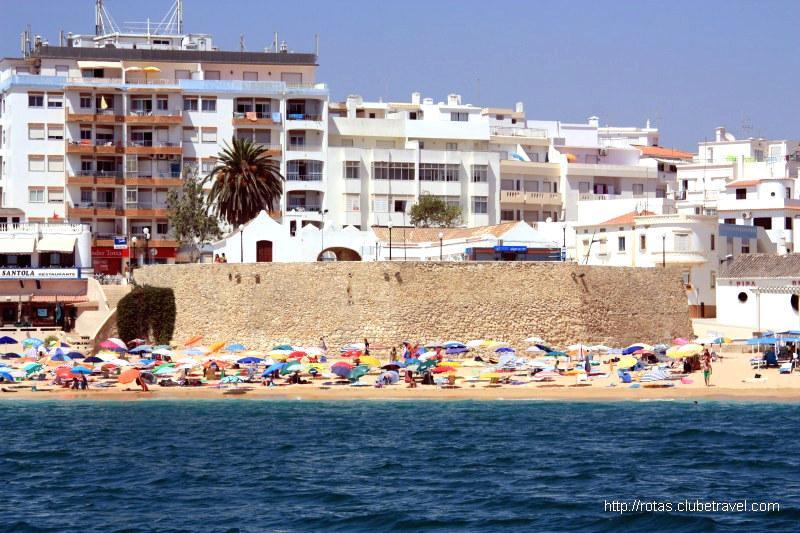
Fortaleza de Armação de Pera |
| 15,4 Km |
 |
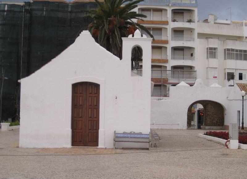
Capilla de San Antonio (Armação de Pera) |
| 15,4 Km |
 |
Praia de Armação de Pera |
| 15,6 Km |
 |
Vila de Armação de Pêra (Algarve) |
| 15,7 Km |
 |
Castillo de Loulé (Algarve) |
| 15,8 Km |
 |
Puente Romano de Tôr (Loulé) |
| 15,8 Km |
 |
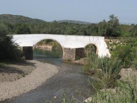
Puente de Tôr (Loulé) |
| 15,8 Km |
 |
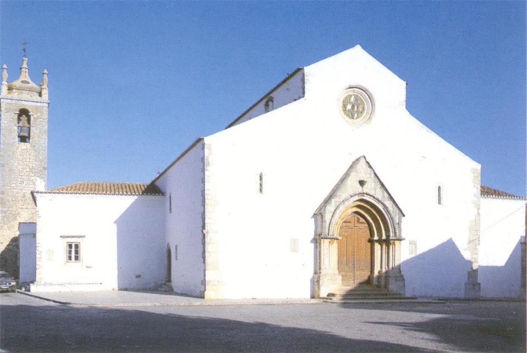
Iglesia Matriz de San Clemente (Loulé) |
| 15,8 Km |
 |
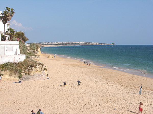
Playa de Armação de Pera (Algarve) |
| 15,8 Km |
 |
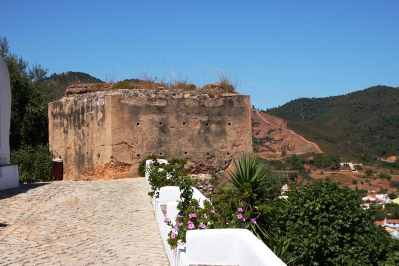
Castillo de Salir (Algarve) |
| 16,6 Km |
 |
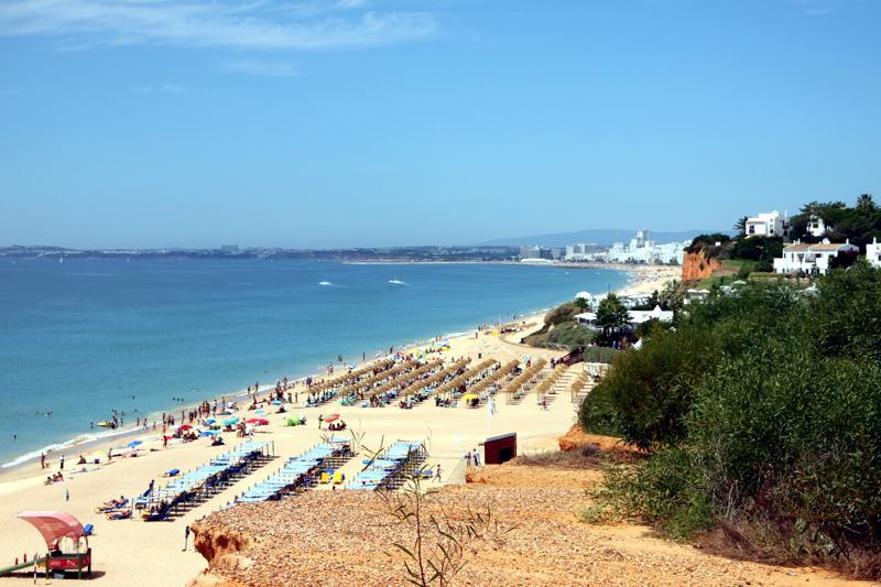
Playa de Vale do Lobo (Algarve) |
| 17,0 Km |
 |
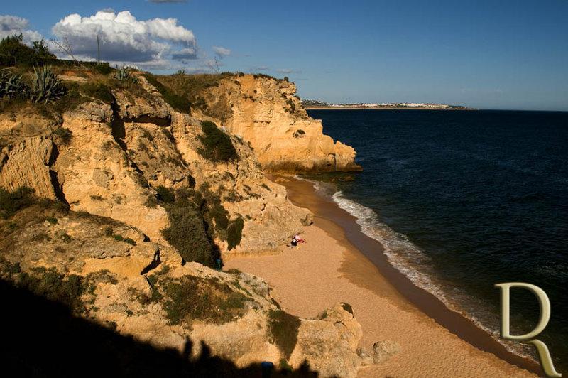
Playa de Cova Redonda (Lagoa) |
| 17,6 Km |
 |
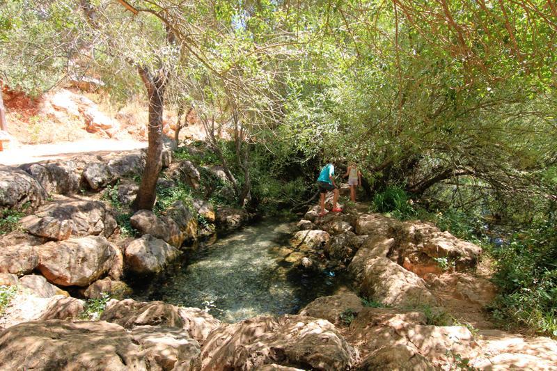
Fuente de Benémola (Querença) |
| 17,7 Km |
 |
Playa Senhora da Rocha |
| 17,8 Km |
 |
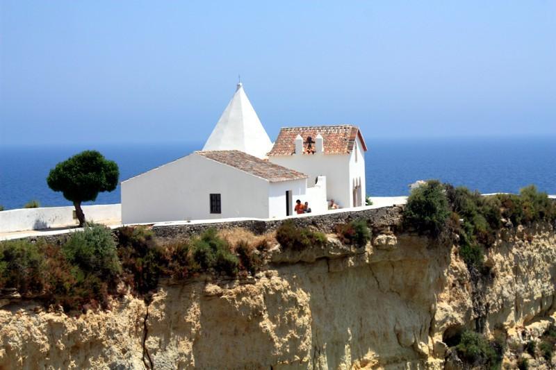
Capilla de la Dama de la Roca (Porches) |
| 17,9 Km |
 |
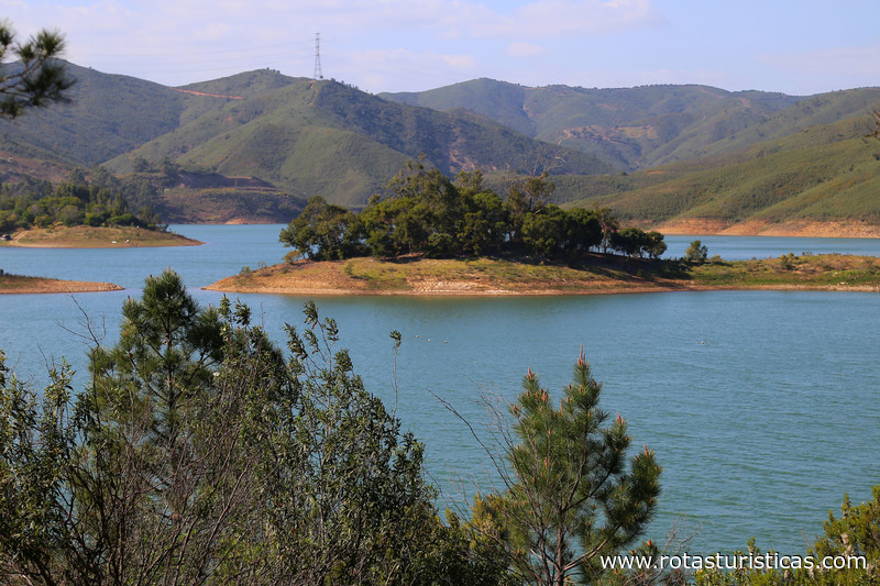
Presa del Arade, Silves |
| 17,9 Km |
 |
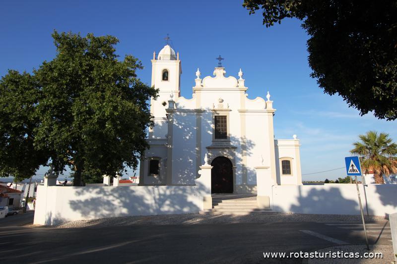
Iglesia Matriz de Porches (Algarve) |
| 18,0 Km |
 |
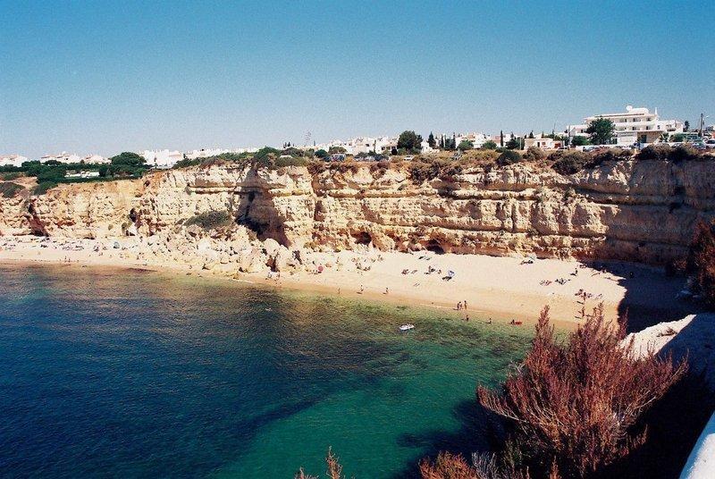
Playa Nova (Lagoa) |
| 18,1 Km |
 |
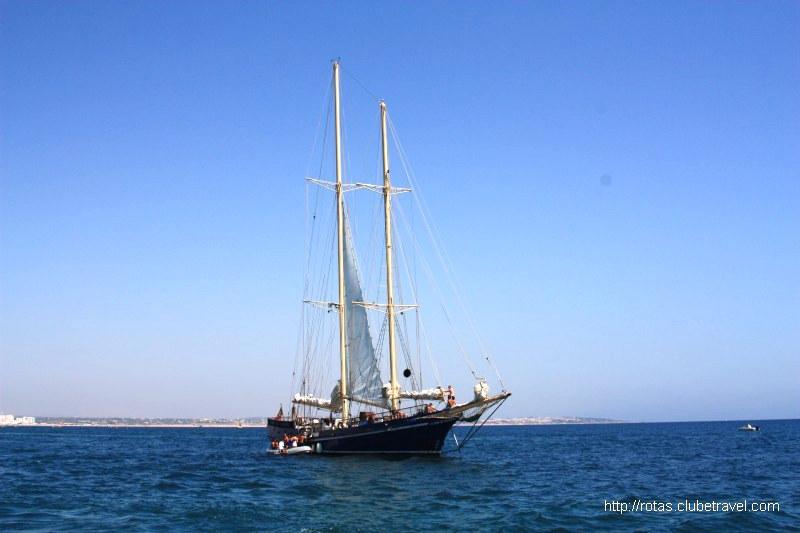
Cóndor de Vilamoura |
| 18,4 Km |
 |
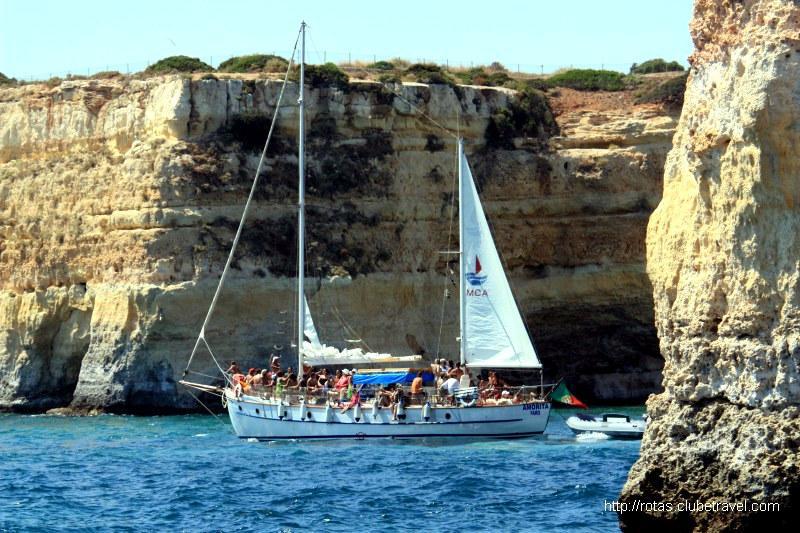
Paseos en bote por la costa |
| 18,6 Km |
 |
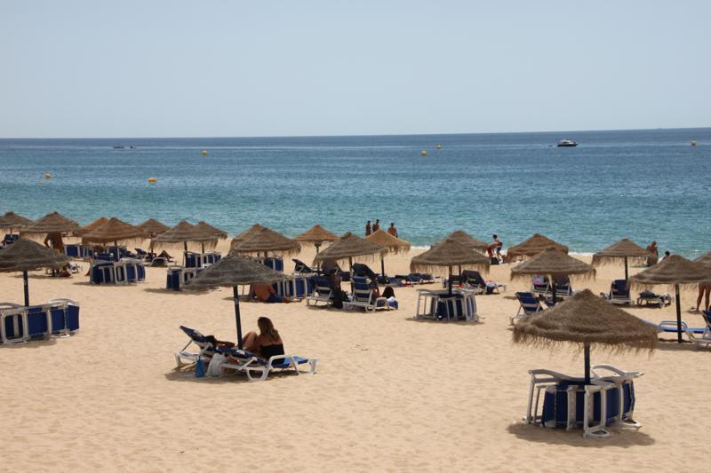
Playa del Valle del Garrão (Algarve) |
| 18,9 Km |
 |
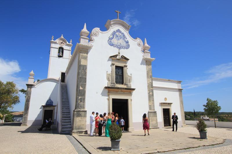
Iglesia Matriz de San Lorenzo de Almancil (Algarve) |
| 18,9 Km |
 |
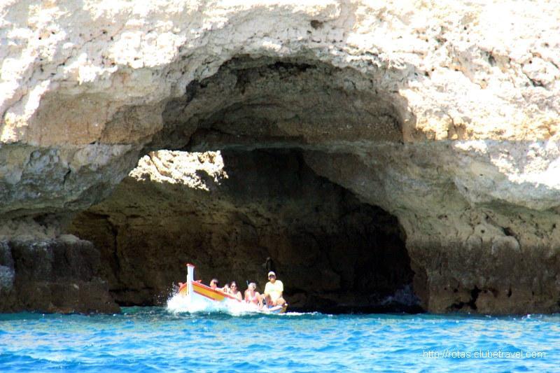
Paseo en bote a las cuevas |
| 19,0 Km |
 |
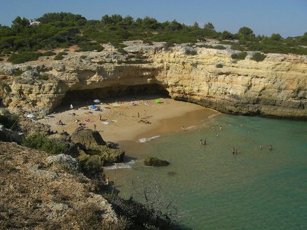
Playa de Albandeira (Lagoa) |
| 19,2 Km |
 |
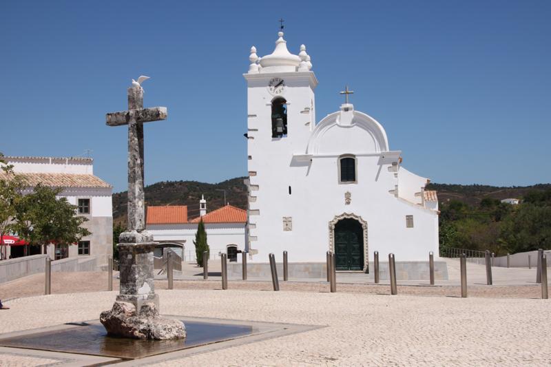
Iglesia Matriz de Nuestra Señora de la Asunción (Querença) |
| 19,4 Km |
 |
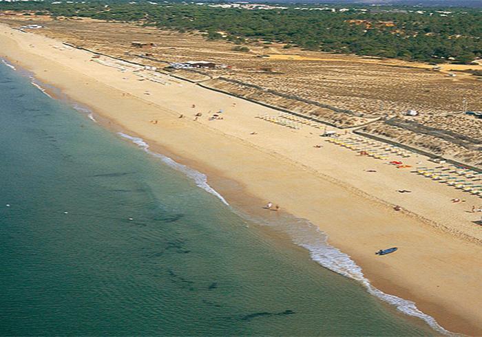
Playa de Ancão (Loulé) |
| 19,6 Km |
 |
Hotel reservation near Castle Almoad (Paderne) within a radius of 20 km
Why to book with RUTAS TURISTICAS
The best prices
Our partnerships with the world´s largest operators offer research on the best market prices.
More options
At Rotas Turisticos you can book the hotel, buy the air ticket, book the transfer from the airport to the hotel and vice versa, book the local excursions, rent the car, take travel insurance and consult the places to visit and where to go.
Holiday Tips & Destinations
Hundreds of holiday destinations with all the options that allow you to easily choose the destination that best suits your dream vacation.
RUTAS TURISTICAS
Links


