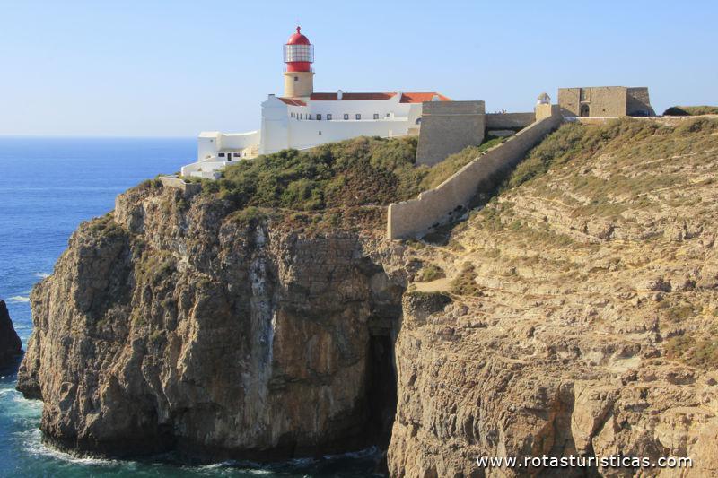
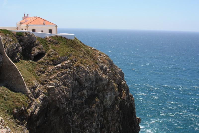
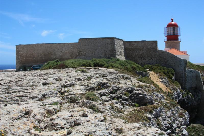
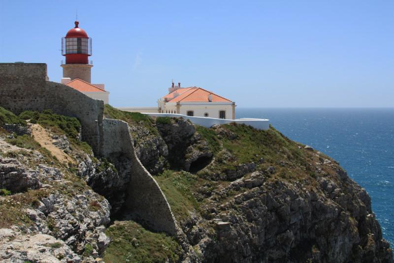
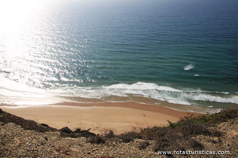
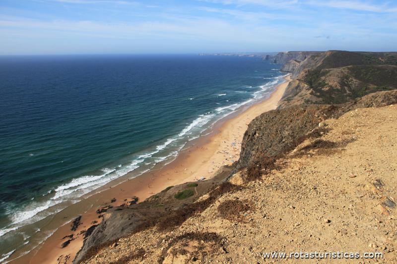
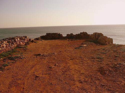
Cabo de São Vicente


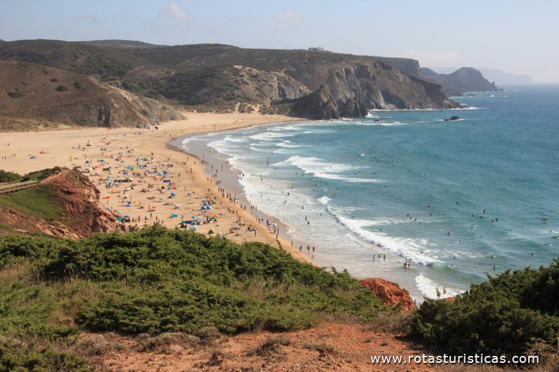
Sagres, Algarve, Portugal
Cabo de São Vicente
Cabo de São Vicente
Cabo de São Vicente
Cabo de São Vicente
Cabo de São Vicente
Cabo de São Vicente
Cabo de São Vicente
Cabo de São Vicente
Cabo de São Vicente
Cabo de São Vicente
Cabo de São Vicente
Cabo de São Vicente
Cabo de São Vicente
Cabo de São Vicente
Cabo de São Vicente
Suggest Place to Visit
4471
Track to location with GPS |
 |
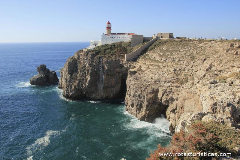
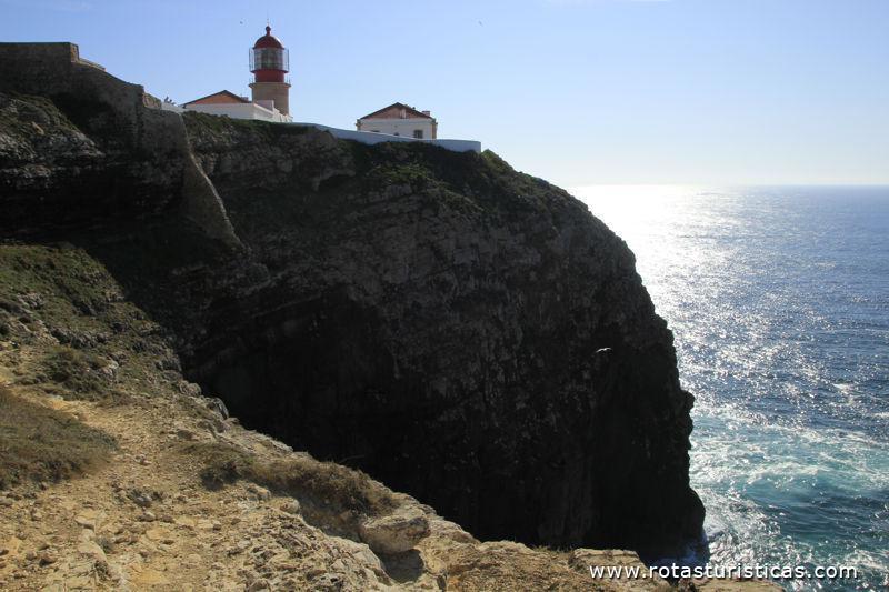
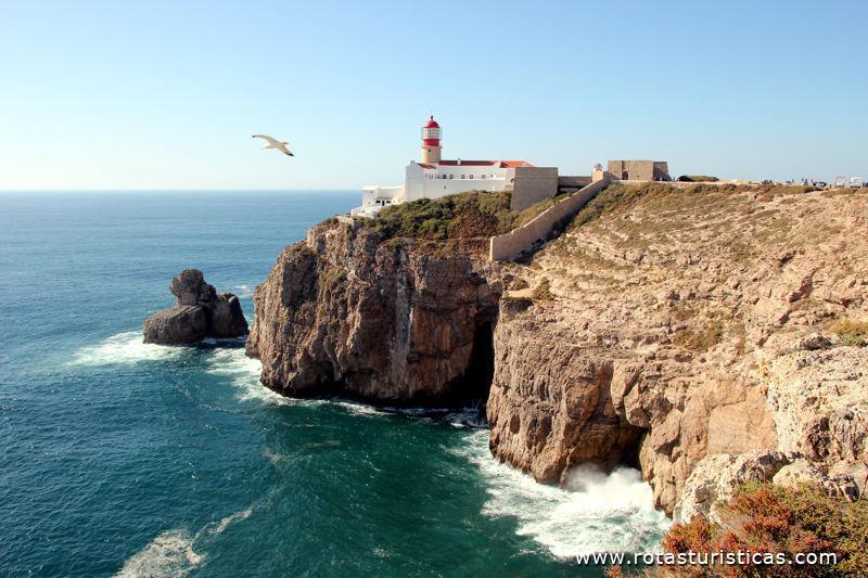
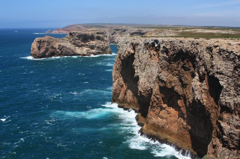
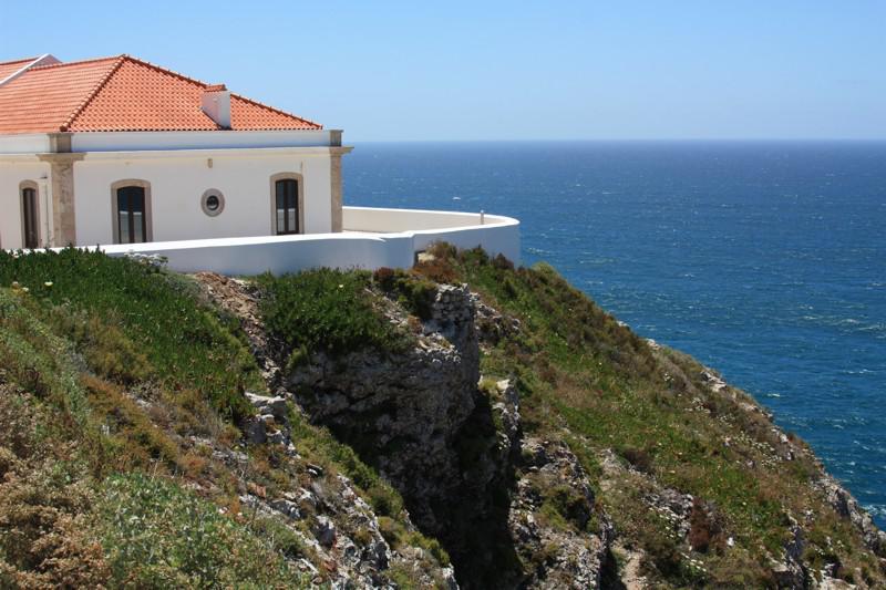
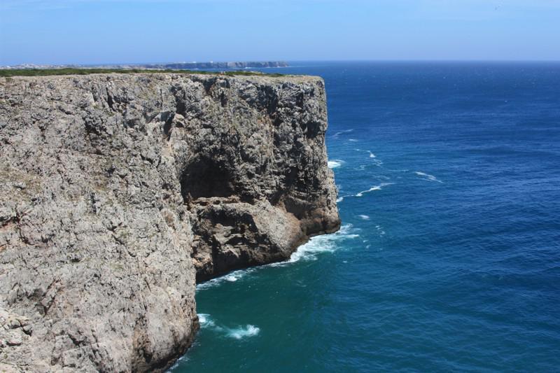
It has a height of 60 m and a length of 100 m that continues on a small peninsula, about 1.5 km wide, connected to the mainland by an isthmus 60 m wide.
This area has always been an important point of reference for the various maritime routes that crossed here.
In the 12th century, the Arab geographer Edrisi makes reference, in the western part of the cape, to a church, which was part of a small convent of Mozarabic monks. This same author, reports that in front of the convent there was a small mosque where Muslims went on pilgrimage.
During the 1st half of the 16th century, the Bishop of Silves, D. Fernando Coutinho ordered the construction of a local nestew convent, which housed Frades Jerónimose, a few years later, Franciscan Friars.
During the reign of King João III, a fortification was built to protect the convent and the numerous pilgrims who sought it out.
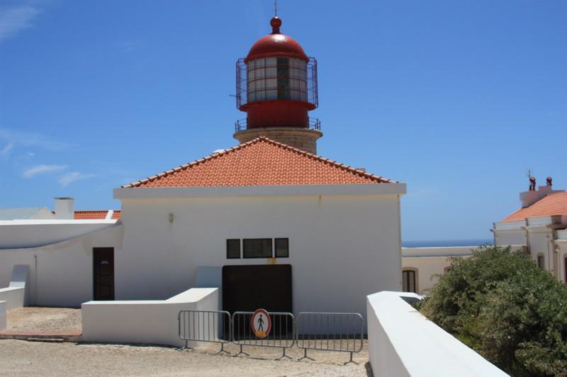
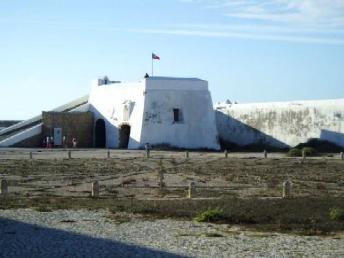
In 1587, the English privateer Francis Drake stormed the building and ended up destroying the tower, which only in 1606 would be ordered to be restored by Philip III of Spain. Many of the structures date from that time, which today we can see retrofitted in the lighthouse complex. With the extinction of religious orders by the Liberals in 1834, the existing buildings were converted.
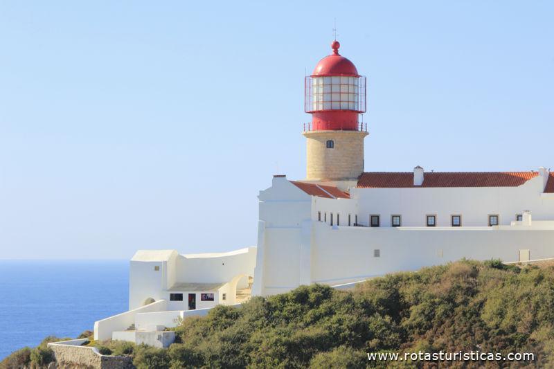
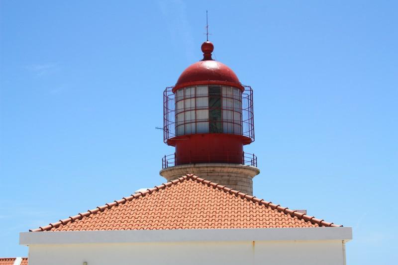
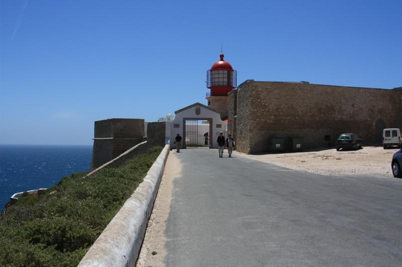
The Lighthouse, as we know it today, was built during the reign of Dona Maria II, in 1846.
In 1894, an ordinance of King D. Carlos ordered the study of the transformations to be carried out at the Cabo de S. Vicente lighthouse, including the construction of a 20 m high tower on which the lantern would rest and the construction of facilities for lighthouse keepers. In 1904 the current lighthouse should have started to function, having undergone, however, several modernizations.
The Cape and the Legend of S. Vicente
According to legend, the Cape owes its name to Mártir S. Vicente, who died in Valencia (Spain), in 304 A.D., at the hands of the local Roman governor Daciano, for having refused to renounce his Christian faith. Daciano ordered the body of the Saint to be thrown into a field, and thus to be devoured by wild animals. However, the body was never profaned, due to a large and mysterious crow that appeared to defend it. Then the governor ordered the body to be thrown into the sea, tied to a millstone. However, when touching the water the rope holding the millstone broke and the body of S. Vicente was dragged by the sea, giving the coast in the century. VIII, in the Cape region, accompanied by crows. The holy relics will have been kept in the Church of Corvo, still mentioned by Edrisi in the century. XII, which was part of a small convent, already existing there, of Mozarabic monks. This same author reports that in front of the convent a small mosque will have been erected where Muslims went on pilgrimage. It is said that the crows kept watch on the grave until the body was transferred to the Lisbon Cathedral, after the year 1147, following the conquest of the city from the Muslims. It is for this reason that S. Vicente became the patron saint of Lisbon and the crows are part of the city's coat of arms.
Sagres Point and Fortress
Sagres inherited the name of the ancient Sacrum Promontorium, which is why the southwestern tip of the western Algarve was known, and especially the Cape of São Vicente in ancient times. There was a belief that it was here that the gods met during the night, people coming from far away to perform various rituals during the day. Ancient authors refer to this place as one linked to the cult of Saturn and Hercules.
It has been difficult to determine with precision the initial date of construction of the fortress and its walls, indicating as the most probable date the year 1443, the date when D. Henrique, son of King D. João I, received from the his nephew, D. Afonso V, the region of Sagres to build a village there, destined to provide support to navigation that crossed these waters.
The Fortification, which received major works during the 16th century, was heavily damaged by the attacks of Francis Drake, English corsair, in 1587, as well as by the Earthquake of 1 November 1755.
It had 3 batteries, where its artillery was found: 1 facing East, 1 facing West and 1 at the South end, known as “Bateria da Ponta”.
Its structural aspect and configuration is the result of the last campaign of works, which took place in 1793, during the reign of D. Maria I.
In addition, on the south wall of the fortress wall, in 1840, a tombstone was placed in memory of Infante D. Henrique with inscriptions in Portuguese and Latin.
In the center of the square, a geometric figure drawn on the ground was discovered, the rough stone, similar to the structure of a wind rose, formed by 32 rays. Due to the fact that some coins from the reign of D. Afonso V (nephew of Infante) were found there, it is assumed that this trace is contemporary with Infante D. Henrique.
However, today, scholars are more inclined towards the hypothesis that it is a large sundial.
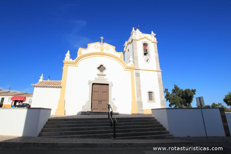
In Vila do Bispo, Algarve.
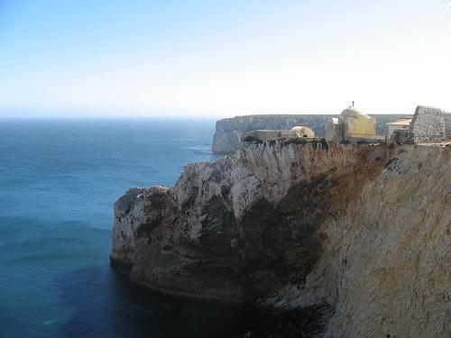
Cabo de S. Vicente is the extreme southwest of Portugal and Europe.
It should be noted that the Cabo de S. Vicente Lighthouse is considered to be one of the most far-reaching lighthouses in Europe, with rotating flares with a range of around 32 miles, with a powerful sound signal.
Source: www.cm-viladobispo.pt
Comments
We don´t have yet any comments about:
Cabo de São Vicente
Cabo de São Vicente
Be the first to leave a comment as it is very important to inform other people
Outros locais a visitar
Within a radius of 20 km from:Cabo de São Vicente
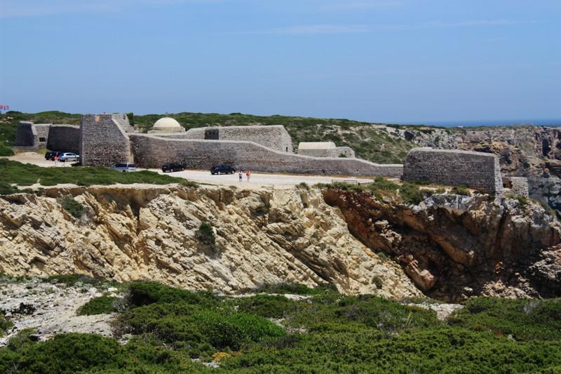
Fortaleza de Beliche (Vila do Bispo) |
| 1,3 Km |
 |
Fuerte de Beliche (Cabo de S. Vicente) |
| 1,3 Km |
 |
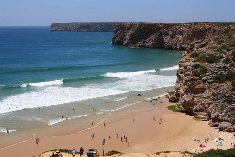
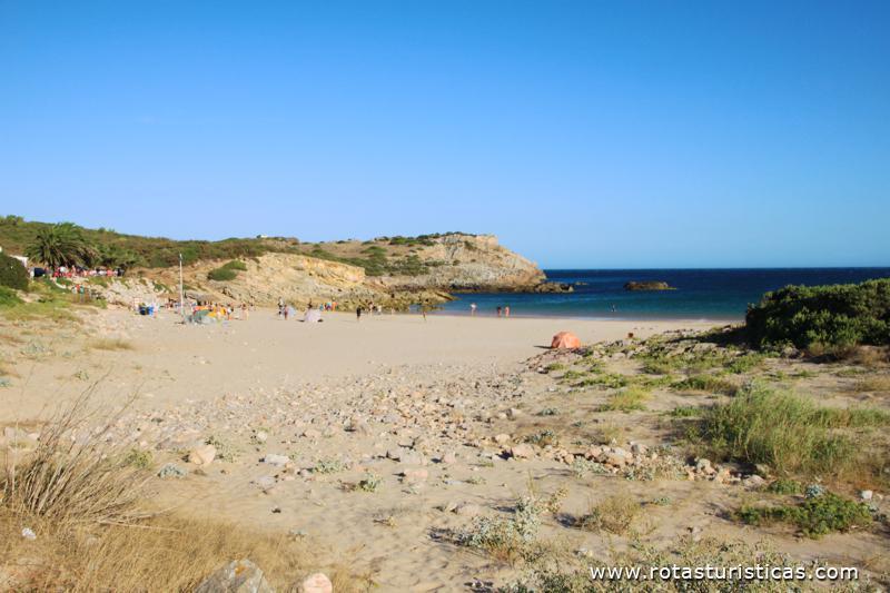
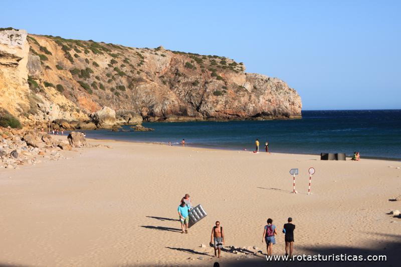
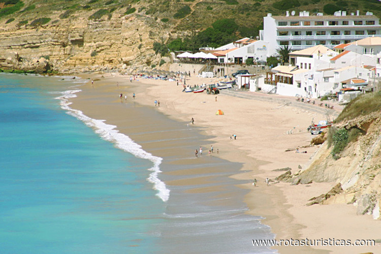
Playa de Beliche |
| 2,8 Km |
 |
Fortaleza de Sagres (Vila do Bispo) |
| 4,9 Km |
 |
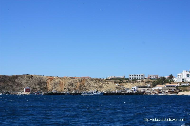
pueblo de Sagres (Algarve) |
| 5,1 Km |
 |
Playa Martinhal |
| 6,2 Km |
 |
Fuerte de Baleeira |
| 6,2 Km |
 |
Playa de Rebolinhos |
| 6,7 Km |
 |
Playa Barranco |
| 9,2 Km |
 |
Playa de Castelejo |
| 9,6 Km |
 |
Iglesia Matriz de Vila do Bispo |
| 10,1 Km |
 |
Playa de la Cordoama |
| 10,5 Km |
 |
Playa Ingrina |
| 10,7 Km |
 |
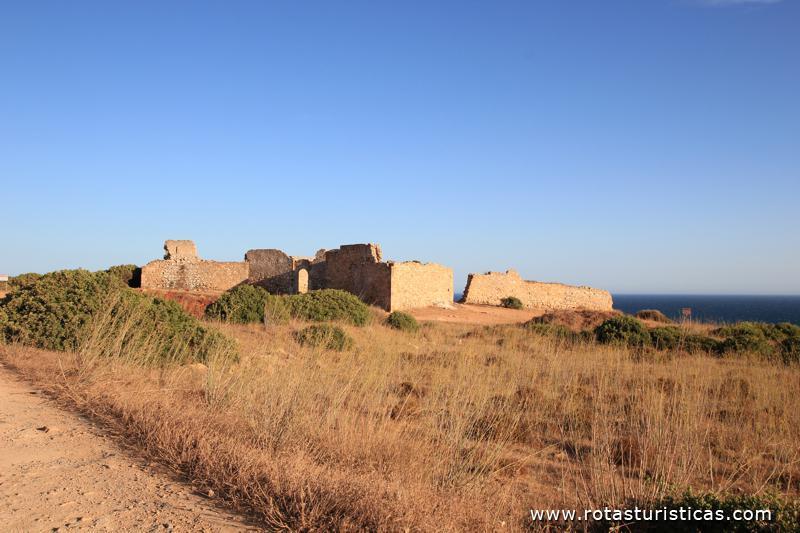
Ruinas del Fuerte del Zavial (Vila do Bispo) |
| 10,9 Km |
 |
Playa Zavial |
| 11,3 Km |
 |
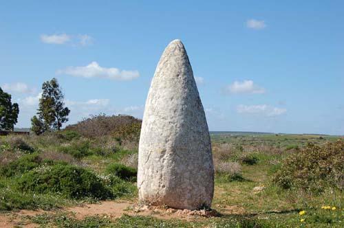
Monumentos Megalíticos en Vila do Bispo |
| 11,4 Km |
 |
Playa de Cordoama |
| 12,1 Km |
 |
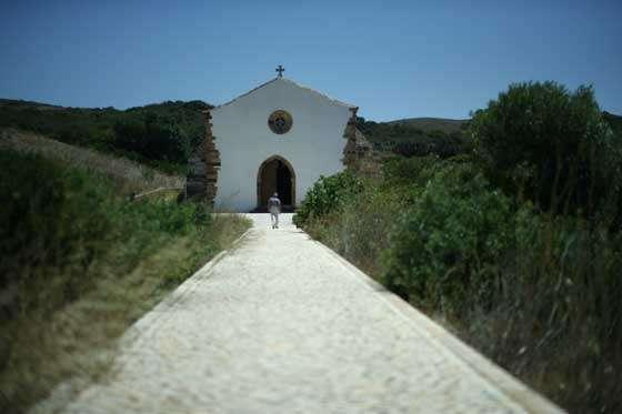
Capilla de Nuestra Señora de Guadalupe |
| 13,4 Km |
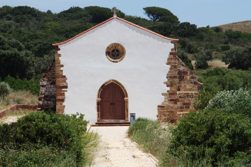 |
Ermita de Nuestra Señora de Guadalupe (Vila do Bispo) |
| 13,4 Km |
 |
Salema - Informação Geral |
| 15,7 Km |
 |
Fuerte de São Luís de Almádena (Fortaleza de Almádena) |
| 17,6 Km |
 |
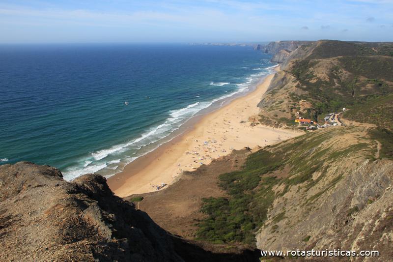
Playa del Amado (Carrapateira) |
| 17,9 Km |
 |
Hotel reservation near Cabo de São Vicente within a radius of 20 km

Why to book with RUTAS TURISTICAS
The best prices
Our partnerships with the world´s largest operators offer research on the best market prices.
More options
At Rotas Turisticos you can book the hotel, buy the air ticket, book the transfer from the airport to the hotel and vice versa, book the local excursions, rent the car, take travel insurance and consult the places to visit and where to go.
Holiday Tips & Destinations
Hundreds of holiday destinations with all the options that allow you to easily choose the destination that best suits your dream vacation.
RUTAS TURISTICAS
Links
Follow us on social networks


