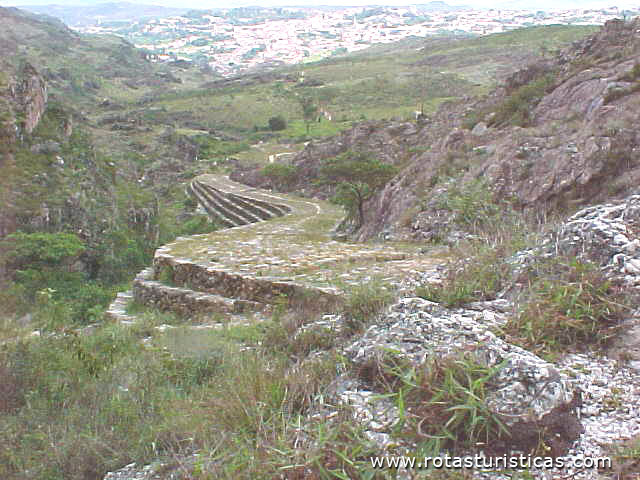
Path of the Slaves


Diamantina, Minas Gerais, Brazil
Suggest Place to Visit
4350
Track to location with GPS |
 |
Trail opened in the 18th century, between the old town of Tijuco and the district of Mendanha, by animals and drovers. It was a diamond transport route. The paving was done by slaves.
Comments
We don´t have yet any comments about:
Path of the Slaves
Path of the Slaves
Be the first to leave a comment as it is very important to inform other people
Outros locais a visitar
Within a radius of 20 km from:Path of the Slaves
Pasadizo de la Calle de la Gloria (Diamantina) |
| 2,9 Km |
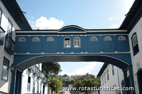 |
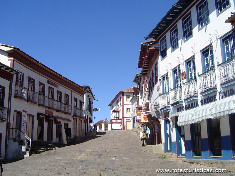
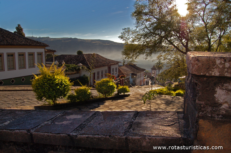
Ciudad de Diamantina (Brasil) |
| 3,1 Km |
 |
Casa del Padre José da Silva Rollim (Diamantina) |
| 3,1 Km |
 |
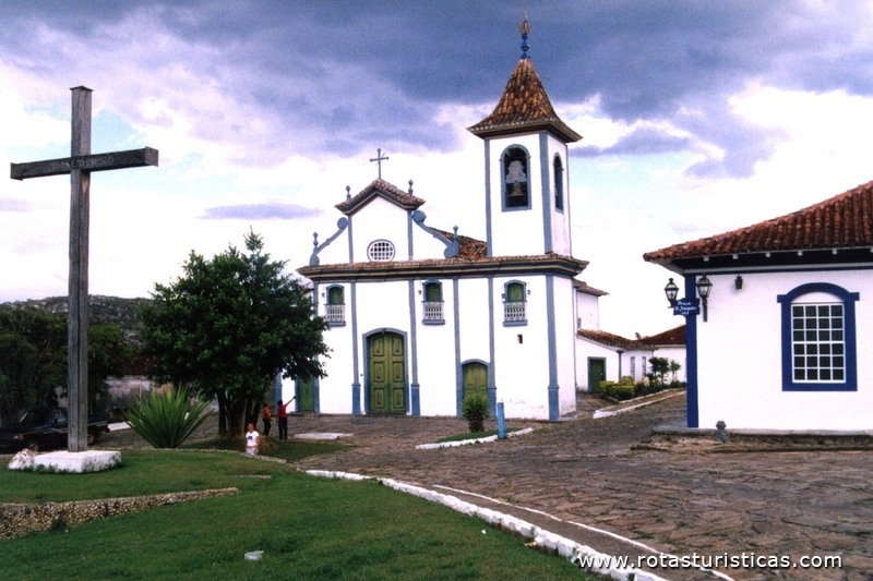
Iglesia de Nuestra Señora del Rosario de los Negros |
| 3,3 Km |
 |
Plaza de la Unesco (Diamantina) |
| 3,8 Km |
 |
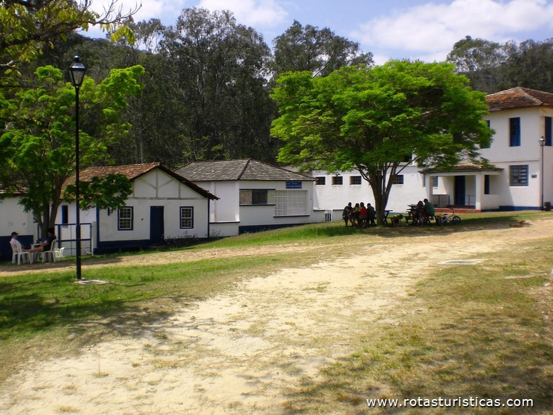
Vila de Biribiri (Diamantina) |
| 8,4 Km |
 |
Hotel reservation near Path of the Slaves within a radius of 20 km

Why to book with RUTAS TURISTICAS
The best prices
Our partnerships with the world´s largest operators offer research on the best market prices.
More options
At Rotas Turisticos you can book the hotel, buy the air ticket, book the transfer from the airport to the hotel and vice versa, book the local excursions, rent the car, take travel insurance and consult the places to visit and where to go.
Holiday Tips & Destinations
Hundreds of holiday destinations with all the options that allow you to easily choose the destination that best suits your dream vacation.
RUTAS TURISTICAS
Links
Follow us on social networks


