Santa Bárbara, Guanacaste, Costa Rica
Suggest Place to Visit
1596
Track to location with GPS |
 |
It was originally populated by the Huetares nation, who lived in the Barva valley, a region that was a Spanish settlement, located between the Virilla River and the Mount of Aguacate. In these lands some Spaniards settled down, with the forced help of the indigenous people, who formed their cattle ranches, farm farms, with their mills and special crops of corn, beans, legumes, wheat, tobacco, cotton, sugar cane, sarsaparilla. and some medicinal plants, not forgetting chicken, pig and cow breeding.
During the eighteenth century the towns of Heredia and Alajuela were founded, inhabited by residents of the Barva valley and elsewhere.
Regarding the foundation of farms in this Valley, there are data that on January 19, 1663, some pastures for cattle and farming located in this region were granted to the city of Cartago. One of them located in what today corresponds to the district of Jesús. It was awarded to the teacher Joseph Sandoval Ocampo; another was called Tapatalanga or Anonos and was in the region north of San Pedro and Santa Bárbara, towards Zetillal.
When Alajuela was founded in 1782, it was mentioned as one of the neighborhoods that formed Targuás or Los Targuases, the old name of what we know as San Pedro and Desamparados de Alajuela. At the time this neighborhood had a population of seventy-six men and sixteen women.
The name of San Pedro appears cited in the year 1819, when "Mr. Juan Pablo Lara bought a house in San Pedro, alias targuaces and some land in the same place adjacent to a ravine called La Claudia."
The name of Santa Bárbara is mentioned in a document from 1821, but according to tradition it was known as Churruca or Surruco.
The reason for the patronage of Santa Barbara, is explained to us in a legend that said that ´´a neighbor named Barbara, having obtained a small image of that saint from a Franciscan, made an altar in her house, and she would go when the storms , which were very frequent and strong in the town; The saint listened to the prayers of her devotee and the neighborhood gradually learned and verified her benefits until she finally unanimously imposed her devotion. "
Among the pioneers of the Barbarian people were: Ambrosio Arias, Juan Cortés, Andrés Murillo, Gregorio Cuadra, Salvador Sánchez, José María Palma, Juan Bastos, Victorio Cortés, Joaquín Gutiérrez, José Angel Sánchez, José Dolores González and Diego Murillo.
Little by little the population of Santa Bárbara grew, and the aspirations of the neighbors who lived in it were getting bigger, so we have that ´´in 1846, the four neighborhoods of Santa Bárbara had a total of 1,500 inhabitants, and of these, 1,000 lived in San Pedro, their neighbors attended the hermitage of Santa Bárbara every Sunday, since that day it was attended by a priest. The reason for the location of the hermitage in the place where it was, was because it was in the center of the four neighborhoods.
There is a confrontation between the people who have investigated regarding the location of the first hermitage, given that, according to historian Carlos Meléndez, it was built approximately two blocks south of where the church currently stands. The document of the governorate series N. 2383 of the National Archive of Costa Rica, dated May 15, 1854, indicates that the hermitage was 200 meters south of the plaza. However, it is also not possible to say if the square is where the current park is or in what place. If so, Mr. Meléndez would be right.
In addition, according to the historian José Antonio Salas, a researcher who has studied the matter more scientifically, the erection of this hermitage was in the year 1837.
Santa Bárbara is canton number 4 in the province of Heredia, Costa Rica. The canton is part of the Greater Metropolitan Area.
The main agricultural activities are the crops of vegetables, coffee and sugar cane and the cattle ranch.
To the north of the region the Central Volcanic Cordillera Forest Reserve is partially located; as well as a zone of volcanic sulfur mineralization.
Geology The canton of Santa Bárbara is geologically constituted by volcanic rocks, from the Holocene period, Quaternary period.
Geomorphology The canton of Santa Bárbara is part of the geomorphic unit of Volcanic Origin, divided into two sub-units, called Barva Volcano and Central Valley Volcanic Fill.
Hydrography The fluvial system of the canton of Santa Bárbara corresponds to the Pacific slope, which belongs to the Grande de Tárcoles river basin.
Comments
We don´t have yet any comments about:
Santa Barbara
Santa Barbara
Be the first to leave a comment as it is very important to inform other people
Outros locais a visitar
Within a radius of 20 km from:Santa Barbara
COLYPRO |
| 3,1 Km |
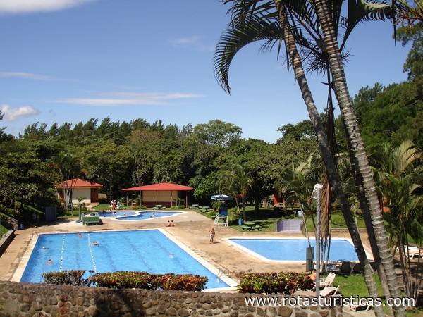 |
Barva |
| 4,2 Km |
 |
Souvenir Museum Verdes y Colores |
| 6,2 Km |
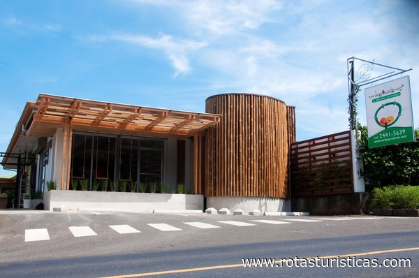 |
Catedral de Alajuela |
| 6,4 Km |
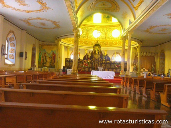 |
Museo Histórico Cultural Juan Santamaría |
| 6,5 Km |
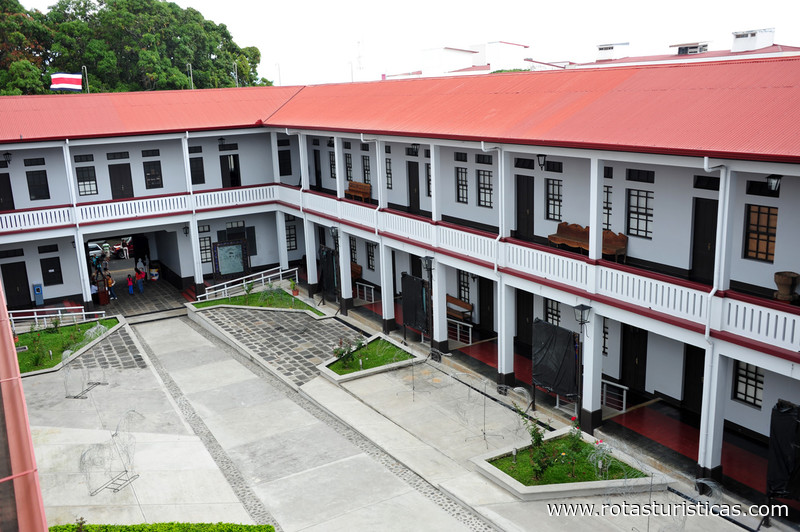 |
Heredia |
| 6,6 Km |
 |
Club Campestre Español |
| 6,6 Km |
 |
Water Land |
| 6,7 Km |
 |
Pacuare |
| 9,2 Km |
 |
Santo Domingo |
| 10,3 Km |
 |
Parque Recreativo Los Manantiales |
| 11,6 Km |
 |
Escazú |
| 13,1 Km |
 |
La Sabana: el Parque de los Costarricenses |
| 14,2 Km |
 |
San Jose |
| 14,2 Km |
 |
Grecia |
| 17,2 Km |
 |
La Tropical |
| 17,2 Km |
 |
Mirador del Volcán Poás |
| 18,9 Km |
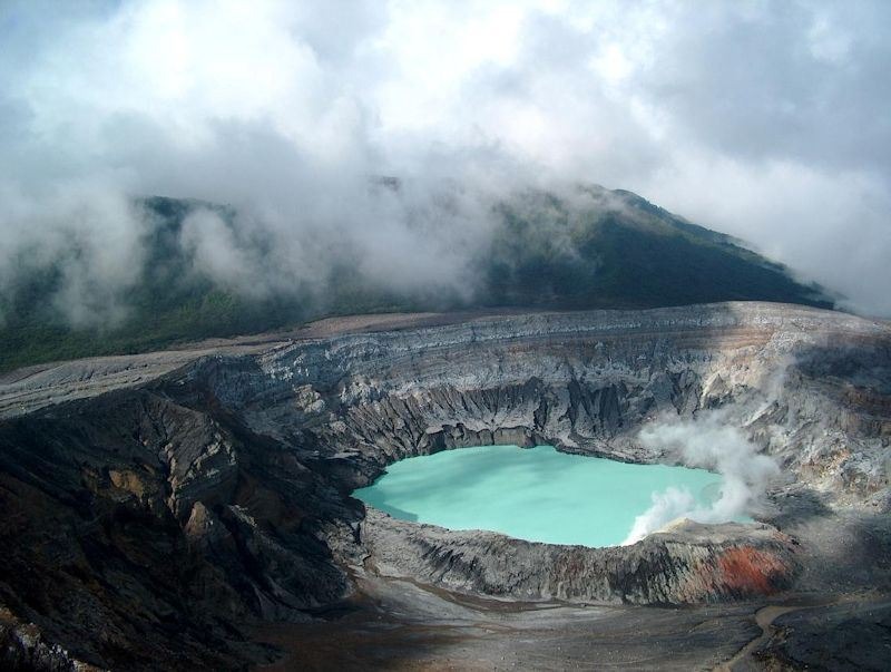 |
Volcán Poás |
| 19,3 Km |
 |
Hotel reservation near Santa Barbara within a radius of 20 km
Why to book with RUTAS TURISTICAS
The best prices
Our partnerships with the world´s largest operators offer research on the best market prices.
More options
At Rotas Turisticos you can book the hotel, buy the air ticket, book the transfer from the airport to the hotel and vice versa, book the local excursions, rent the car, take travel insurance and consult the places to visit and where to go.
Holiday Tips & Destinations
Hundreds of holiday destinations with all the options that allow you to easily choose the destination that best suits your dream vacation.
RUTAS TURISTICAS
Links


